Trip report: Spring serenity at Briones Regional Park

From Briones Peak, a view to the north of cattle ponds and Carquinez Straits.

From Briones Peak, a view to the north
of cattle ponds and Carquinez Straits.

The day after a snowstorm, folks who ski tend to reference sunny, clear-blue skies as evidence of a bluebird day. If I can extend that term to include my hiking adventures, then I’ve recently enjoyed two bluebird days – one at Big Basin Redwoods back on February 24th, and the other this past Sunday at Briones Regional Park.

Quite fortuitously, each of these hikes had occasion to occur two days after moderate seasonal rainfall late in the week, each rain quickly giving way to clear weather and allowing adequate drainage and drying of the trail surface. By the time I’d arrived at their trailheads, the soils at each park had yielded a near-perfect tack, comfortable underfoot and presenting only minor incidence of loose footing in the shadowed low spots.

Red Maids (Calandrinia ciliata) were a common sight on the sunny saddle between Briones and Mott peaks.

Red Maids, Calandrinia ciliata, were a common sight on the sunny saddle between Briones and Mott peaks.

It had been another in a series of long weeks at work, and I first had to get past the frustrations of deciphering dense Engineerese and an all-too-tall pile of workload. A good night’s sleep and a few miles of road between my Sunnyvale home and the hills of Orinda seemed to carve away the vestiges of these vexations, but once I stepped out of my truck at Briones Park’s Bear Creek Trailhead, breathed the cool green hills, laced my boots and embraced a friend, all care quickly melted into a serene pace and welcome chatter.

Within a few steps, my week had suddenly and gratefully distilled into a decoction of carpe the damn bluebird diem.

We strode out on a counterclockwise loop, Angela and I, first walking a trail east along Bear Creek before angling right along Homestead Valley Trail. We encountered the softest earth along these lower flats which, though pocked with cow sign, were easily navigable, yet too laden with moisture to support wildflower displays. After perhaps a mile, our route took us left onto Briones Crest Trail and into hills rampant with coast live oak, yet studded here and there with madrone, bay laurel and, as we climbed higher to a junction with Table Top Trail, a scattering of surprisingly tall, quickly-growing buttercups.

Mt. Diablo glows in the morning haze.

Mt. Diablo glows in the morning haze.

Eventually we emerged from the trees onto an open ridge below Briones Peak and enjoyed our first glimpse of the surrounding countryside. Mt. Diablo shimmered beyond us to the east above the town of Walnut Creek, its twin peaks prominent on the morning skyline; to the west, we could easily recognize the unmistakable contours of Mt. Tamalpais.

We sauntered on, gaining Briones Peak, then continued northwest, following the crest of the ridge toward Mott Peak. The land undulated away to the north below us, offering a dazzling view of the Carquinez Straits, the Mayacamas Ridge in Sonoma County beyond and, just below us, the twin Sindicich lagoons.

Up until now we had generally followed the main trails, which had in large part been wide ranch road. But having seen that the trail we were on skirted the high point of the park, Mott Peak, I eschewed pretense and instead decided to follow a fenceline cow trail directly upslope to its summit. Mild protestations from Angela elicited a brief discussion of rhythmic breathing technique and, before we were scarcely aware of it, we were communing with the meadowlarks and ravens atop the peak, and hungrily unwrapping our sandwiches.

The Herrick Red from Conn Creek Winery: well-structured, fruit-forward, and absolutely delicious.

The Herrick Red from Conn Creek Winery: well-structured, fruit-forward, and absolutely delicious.

At 1,424 feet, the view from Mott Peak is nothing if not commanding, and so we sat and gazed awhile at the splendor surrounding us, gratefully chowing down and occasionally commanding sips from a bottle of Herrick Red from Conn Creek Winery, a classic yet affordable Bordeaux-style wine sourced and blended from Cabernet Sauvignon and Syrah grapes grown in Napa Valley’s Rutherford district.

On such a comfortable, sun-warm day, it was easy to accept the notion that we should simply linger in the grass among the Red Maids, allow the gentle Bay breeze to caress us, and let our thoughts wander in unbroken reverie, but our feet eventually ruled the moment, given to notions of wandering themselves. And so we ambled downhill, back along Mott Peak Trail to Black Oak Trail which, though it descends sharply enough to wisely warrant a counterclockwise circumnavigation of the Briones Crest, quickly returned us to Old Briones Road and our cars.

If you’re going to Briones Regional Park

The wildflowers are just beginning to bloom, so now through mid-May is a great time to explore the magic of Briones Regional Park. The majority of the park’s over 6,000 acres of open space is unshaded and open to the elements, so be sure to wear sunscreen, even a wide-brimmed hat. The Briones Regional Park website a includes a downloadable trail map; parking at the Briones Park office and the Alhambra, Bear Creek, Lafayette Ridge and Reliez Valley staging areas is $3 and is open from 8 a.m. to sunset.

————————— ♦ —————————

Have you hiked Briones Regional Park?
If so, did you see any wildflowers or enjoy the view from Mott Peak?

————————— ♦ —————————

~winehiker

Trip Report: China Hole Loop Hike, Henry Coe State Park

At long last: the following photoessay has been over a week in arriving, but I blame nobody for my tardiness in posting it but the Hades Inc. Department of Pinched Nerves and Spinal Subluxation, Special Expensive Downtime Division. Thank you, dear reader, for your patient tolerance while I’ve been recuperating from this @#$*! neck thing – I quite frankly couldn’t work the keyboard for more than about 15 minutes for about 9 days. Could it have been the rigors of this hike that sent me spiraling into the Nether Depths of Neckdom? Well, highly doubtful. But dang it all anyway.

And so, onto the show: to see larger versions of each photo, the content of heart need only click once.

Sunday, October 15th, 2006
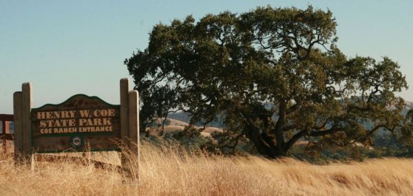
I got together with a few of my pals for a double-digit romp through one of my favorite backyards, Henry Coe State Park, which waits for the adventurous soul on a high ridge about 30 minutes’ drive along a twisty, tortuous mountain road east of the South Santa Clara County hamlet of Morgan Hill, California.

Henry Coe State Park waits for the adventurous soul on a high ridge.

Coe Park is Northern California’s largest state park – even larger than Big Basin – at over 87,000 acres of former farm and ranchland.

Coe Park is Northern California’s largest state park – even larger than Big Basin – at over 87,000 acres of former farm and ranchland.

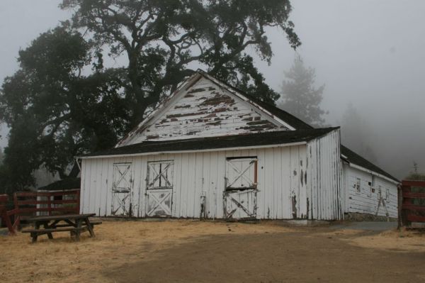
Henry Coe kept a few horses in his stable, which still stands…

Henry Coe kept a few horses in his stable, which still stands.

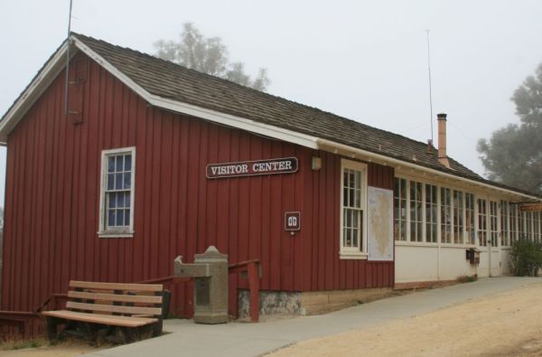
…along with his family’s former homestead, which is now the Henry Coe Park Headquarters and Visitor Center.

The Coe family’s former homestead is today the Henry Coe Park Headquarters and Visitor Center.

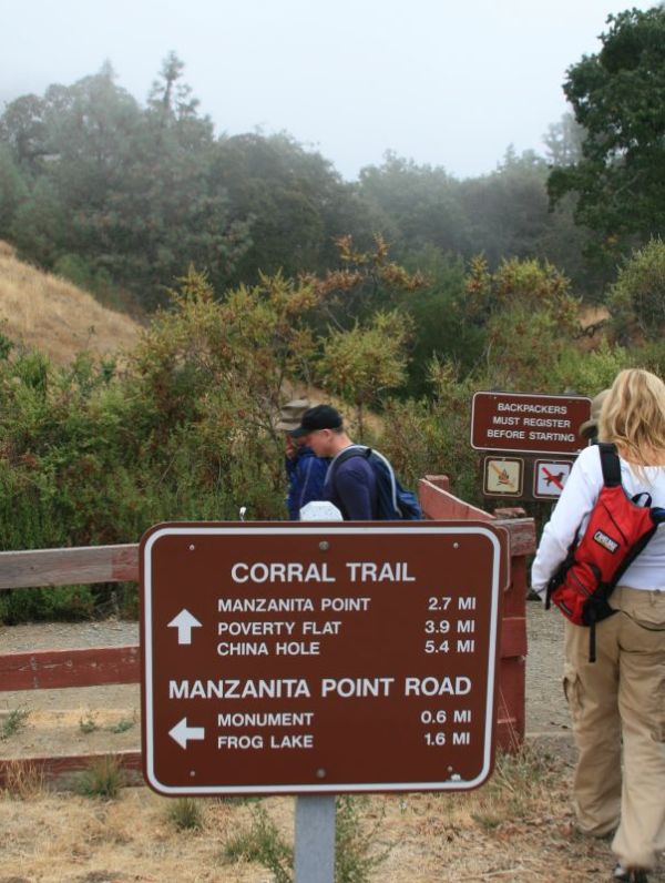
Much of the splendor that Coe Park offers awaits the ready hiker just across the road from the Visitor Center. I say “ready” for a reason: most of the hiking here requires stamina and a few good base miles. Our group, I’ll admit, was more than ready to tackle just a little more than ten miles’ hilly hiking along the Corral, Springs, and Manzanita Point trails to a keyhole loop of the Madrone Soda Springs, Mile, and China Hole trails.

Our group was ready to tackle more than ten miles’ hilly hiking along the Corral, Springs, and Manzanita Point trails to a keyhole loop of the Madrone Soda Springs, Mile, and China Hole trails.

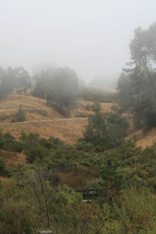
Though the heat of Summer in the Diablo Range was over…

The heat of Summer in the Diablo Range has given way to cool fog.

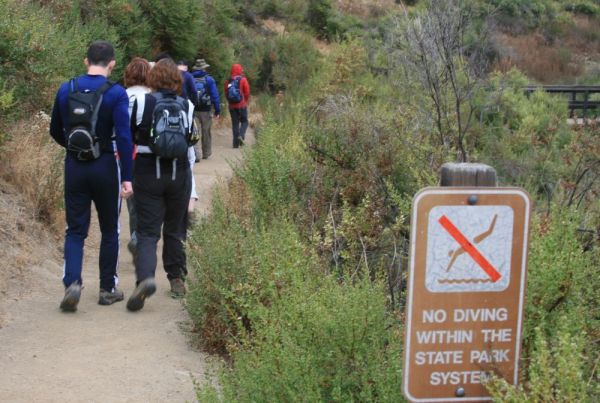
…we’d be hard-pressed to find any compulsion not to catapult ourselves off the trail. Yet somehow we escaped that fate.

The sign indicates "NO DIVING". Somehow we escaped the fate of catapulting ourselves off the trail.

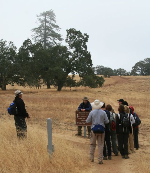
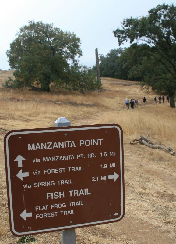
At the junction of Manzanita Point, Corral, and Springs trails, we stop for a confab. It’s always good to meet halfway on stuff such as stopping at all hilltops and trail junctions. But it’s the spooky month of October, and who knew what critters lurked just off-trail, waiting to pounce on the unwitting, chatty hiker? I decided we’d better review our worse-, worst-, and worster-case scenarios before plunging down Springs trail.

At the junction of Manzanita Point, Corral, and Springs trails, we stop for a confab.

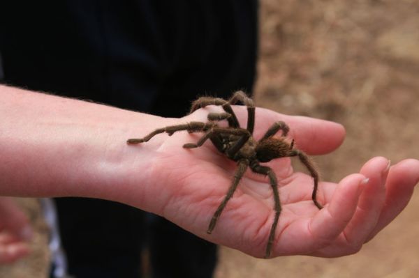
After all, it may be Fall, but there may just be big hairy spiders springing upon us.

A signpost directs us south toward Manzanita Point.

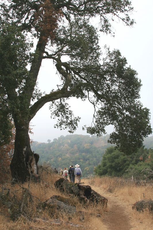
Meanwhile, the day was still ripe for some fine late-season ambling among the oak- and brush-dotted grasslands.

The day was ripe for some fine late-season ambling among the oak- and brush-dotted grasslands.

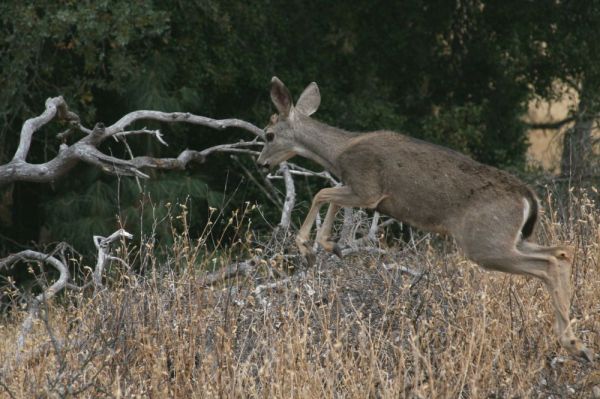
Hark! A stag a-leap!! And a fine piece of sharp-eyed camerawork, too. Photo credits – and there are many – go to Mr. Mark Shepley of Walnut Creek, California.

A black-tailed deer leaps just off-trail.

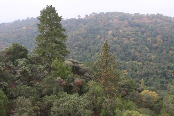
We continue, crediting Nature with this tranquil scene of pines and hardwood hillsides. And then…

Tranquil scene of pines and hardwood hillsides.

…out leapt wave upon wave of big and scary demented hairy beasts!!

Big and scary demented hairy beasts!

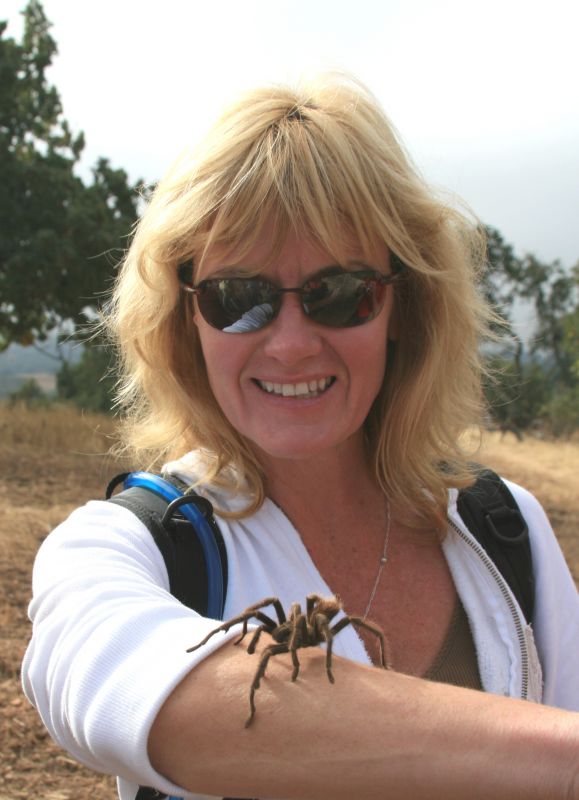
And so my prediction comes true: MJ, ever stout of spirit and brave of heart, models the latest line of furs from Halloween, Incorporated…

MJ models the latest line of furs from Halloween, Incorporated.

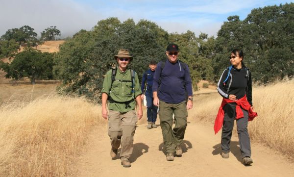
…yet there is much more trail to discover. Happy in our arachnid discovery, we continue, spirits aloft, to tramp down the trail. Andy and Annie, to my left, are almost bigger hikin’ fools than I am: we’ve pounded a lot of trail together these last coupla years, both locally and otherwise.

Happy in our arachnid discovery, we continue, spirits aloft, to tramp down the trail.

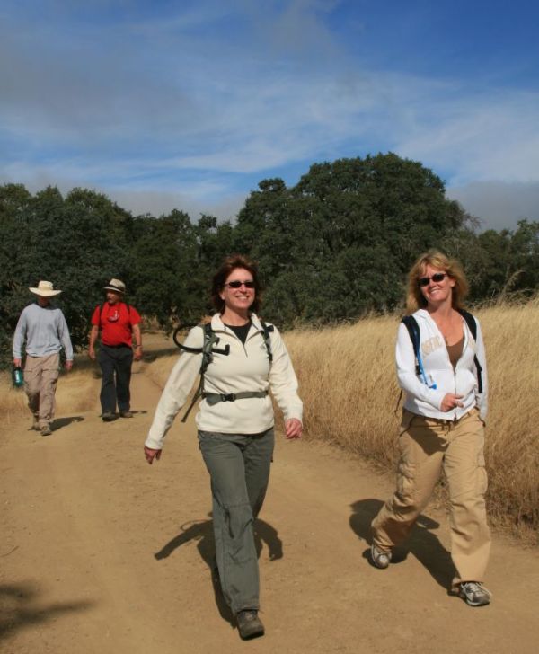
While it’s only been about 2 miles or so to this point on the trail, and while we haven’t yet enjoyed any strenuous hillclimbing, the endorphins are coursing, and it shows easily and often in the smiles of ardent hikers Caroline and MJ.

The endorphins are coursing, and it shows easily and often in our smiles.

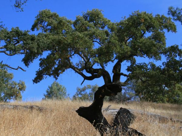
Though they say that a picture paints a thousand words, Mr. Shepley’s sense of composition has certainly added a broad palate of fine brushstrokes, as depicted in this still of a tough old ridgetop oak.

Juxtaposition: a tough old ridgetop oak and a foreground stump.

Into the canyon
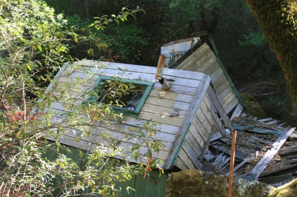
The remains of the old Madrone Soda Springs resort, built in the late 19th century and destroyed by abandonment and neglect, but mostly by a much more recent Soda Springs Canyon flood: this former two-story building used to stand about a half-mile upstream.

The remains of the old Madrone Soda Springs resort, destroyed by a Soda Springs Canyon flood.

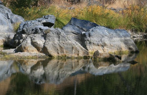
The descent from Coe Park’s Pine Ridge down Soda Canyon spills, finally, onto Coyote Creek.

The descent from Coe Park’s Pine Ridge down Soda Canyon spills onto Coyote Creek.

With 13 creek crossings and some truly fantastic wildlife sightings – the latter being nearly always true for Henry Coe Park – the hike thus far has been an exciting one…

With 13 creek crossings and wildlife sightings, the hike thus far has been an exciting one.

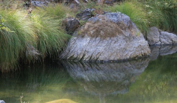
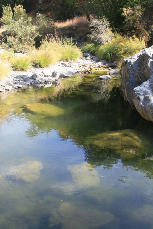
…but that’s because it’s all been downhill to China Hole, a perfect place to swim in Summer if you don’t mind the long, hot, steep, and sweaty hillclimb out from here. Alas, even though the air temperature is rather warm, the water is already too cold for frolicking and wet-play, and all we’re doing is stripping down to our lunchbags.

China Hole is a perfect place for a Summer swim if you don’t mind the long, hot, steep and sweaty hillclimb out from here.

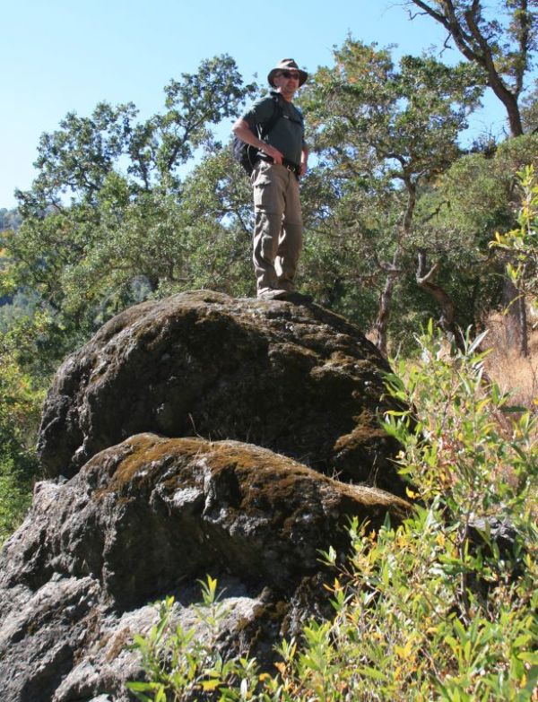
“I smile unto you, my Children.”
Thus uttereth a satiated Winehiker from a well-placed post-lunch promontory. And yet somehow, wine was not involved.

The winehiker surveys the scene from on high.

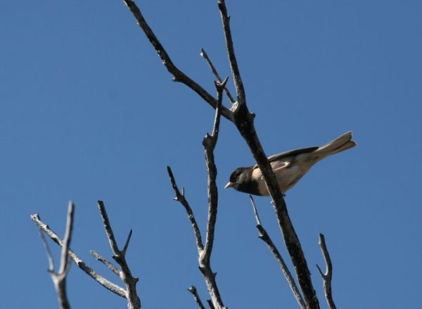
Mark’s sharp eye once again captures a fine moment in wildlife poseurship: this time it’s a male Dark-Eyed Junco, a common sighting all over coastal California.

A dark-eyed junco whistles overhead.

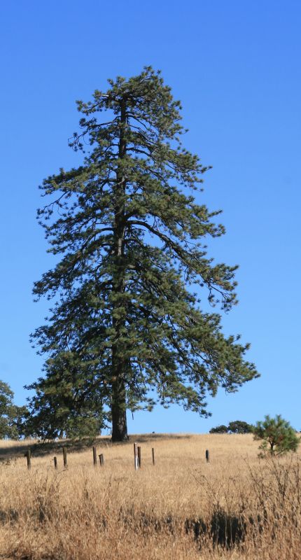
The old rancher’s grasslands spawn many oaks and many pines. This Monterey pine is more picturesque than most.

A picturesque Monterey pine.

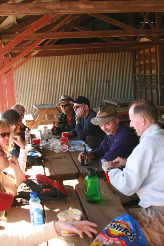
Our Coe Park sortie dissolves, as it nearly always does, into a fine mix of food, laughter, beer, endorphins, and hilarity. Such are the wily plans of a crafty winehiker. If I recall correctly, we also shared a bottle of 2001 Lindeman’s Pyrus from Coonawarra, Australia that afternoon, and I might just have to blog about that wine. [Editor’s note: I’ve now done so.]

Our Coe Park sortie dissolves into a fine mix of food, laughter, beer, endorphins, and hilarity.

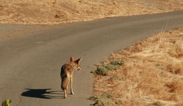
The hike was officially over, but not so the day: Mark sighted this coyote through his viewfinder…

A coyote jaywalks along the mountain road.

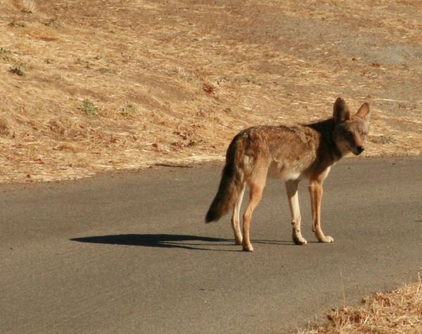
…and the coyote sighted Mark. Good thing Mark didn’t think this critter was a wolf!

The jaywalking coyote turns to sullenly mock us.

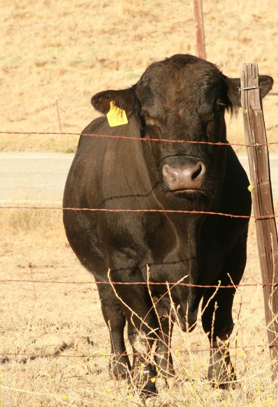
Glad he’s on the other side of that really stout fence
No photoessay of the hills east, north, and south of the San Francisco Bay would be complete, of course, without including its most conspicuous citizen (besides us two-legged varmints). This steer appears well-practiced at posing for photographers exiting Coe Park.

This young steer seems well-practiced at posing for the camera.

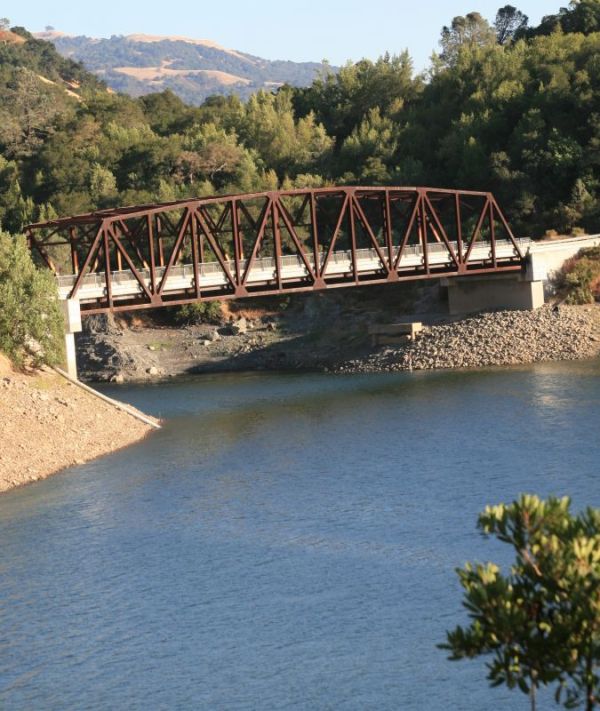
On the drive home, we cross a bridge above the junction of Coyote Creek and Anderson Reservoir above Morgan Hill. Pine Ridge is witness to our departure in the mid-afternoon distance.

A bridge above the junction of Coyote Creek and Anderson Reservoir above Morgan Hill.

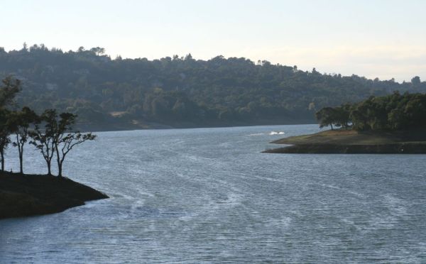
A view to the west out over Anderson Reservoir is quite enchanting. In late season, this pond is more full than usual.

A view to the west over Anderson Reservoir.

Yes, it’s been a good year.

It’s been a good year of winehiking.

And thus concludes our broadcast day from Henry Coe State Park.

Thus concludes our broadcast day from Henry Coe State Park.

~winehiker